Home
Areas and pictures
Articles
Background
Contact us
How you can help
Invasion Numbers
Links
Pictures of invasion
Videos of invasion
Political Issues
Population & immigration
Public Opinion
Reading Material
Reports
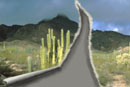
Desert Invasion - U.S.
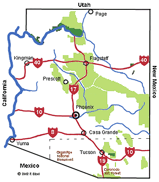
Find out more about our fragile border desert areas
Buenos Aires National
Wildlife Refuge
Chiricahua Nat. Monument
Cabeza Prieta National
Wildlife Refuge
Coronodo National Forest
Empire-Cienega National
Conservation Area
Imperial Nat. Wildlife Refuge
Leslie Canyon National
Wildlife Refuge
Organ Pipe Nat. Monument
Saguaro National Park
San Bernadino National
Wildlife Refuge
San Pedro Riparian National
Conservation Area
Sierra Del Pinacate Reserve
in Mexico
Quitobaquito Springs
(Click on map area)
Also see
detailed map
of southern Arizona showing Federal lands and portals of entry
Additional information
Recreation.gov
information
GORP (Guide to Outdoor Recreation and Active Travel) resource pages:
Border areas
describes biological diversity of desert regions, and
Riparian zones
DesertUSA
includes Bureau of Land Management field offices
Defenders of Wildlife
- includes Refuge field offices
BLM Field Offices
Sonoran Desert Naturalist
includes maps and photographs
Maps
View USGS Maps and Aerial Photo Images Online
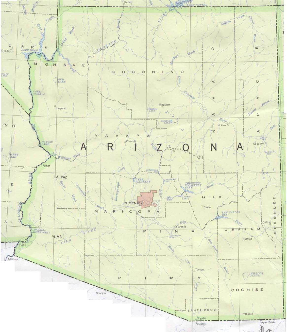
Arizona state maps
World Site Atlas shaded map
CoolFire shaded map
Perry-Castaneda Library shaded map
InfoPlease shaded map
Rand-McNally pdf format
Shaded landform releif maps in
Color
and
black and white
USGS shaded relief map
Satellite image
EPA maps
Points of interest
Wilderness map
by
National Wilderness Preservation System
Indian Tribes map
Photographs
Sonoran Desert Photo Gallery
by Don Baccus
Sonoran Desert Photo Gallery
by Jack Dykinga
AZVenture
collection of picture sites
The Desert in Bloom
from DesertUSA
Southeast Arizona photographs
OneWorld Journey
, photos by Jack Dykinga
____________
Home